The Motherlode
Poor7mm rain forecast
Temp82°F
Wind9 mph
Humidity62%
Rain 48h0.01 in
RockDry
KENTUCKY · SANDSTONE · 7 AREAS
The Red River Gorge in eastern Kentucky is one of the best-known sport climbing areas in the US: steep, pocketed sandstone cliffs spread across climber-owned preserves, private land and national forest around Slade and Natural Bridge. We forecast seven of the main climbing areas, from the Motherlode and PMRP to Muir Valley and Miller Fork. They sit within a few miles of each other but don't always dry at the same speed, so this page compares them side by side, updated every four hours.
Red River Gorge looks poor today (7mm rain forecast).
Updated Wed 14 Oct, 14:11 · refreshed every 4 hours
7mm rain forecast
7mm rain forecast
7mm rain forecast
7mm rain forecast
7.7mm rain forecast
7.7mm rain forecast
7.7mm rain forecast
Each day is judged on the 10:00–16:00 climbing window. Tap a name for hourly detail.
| Area | Today | Thu | Fri | Sat | Sun | Mon | Tue | Wed |
|---|---|---|---|---|---|---|---|---|
| The Motherlode | Poor | Poor | Poor | Good | Good | Good | Good | Good |
| PMRP | Poor | Poor | Poor | Good | Good | Good | Good | Good |
| Bald Rock Recreational Preserve | Poor | Poor | Poor | Good | Good | Good | Good | Good |
| Miller Fork | Poor | Poor | Poor | Good | Good | Good | Good | Good |
| Muir Valley | Poor | Poor | Poor | Caution | Good | Good | Good | Good |
| Roadside Crag | Poor | Poor | Poor | Caution | Good | Good | Good | Good |
| Torrent Falls (Limited Access) | Poor | Poor | Poor | Caution | Good | Good | Good | Good |
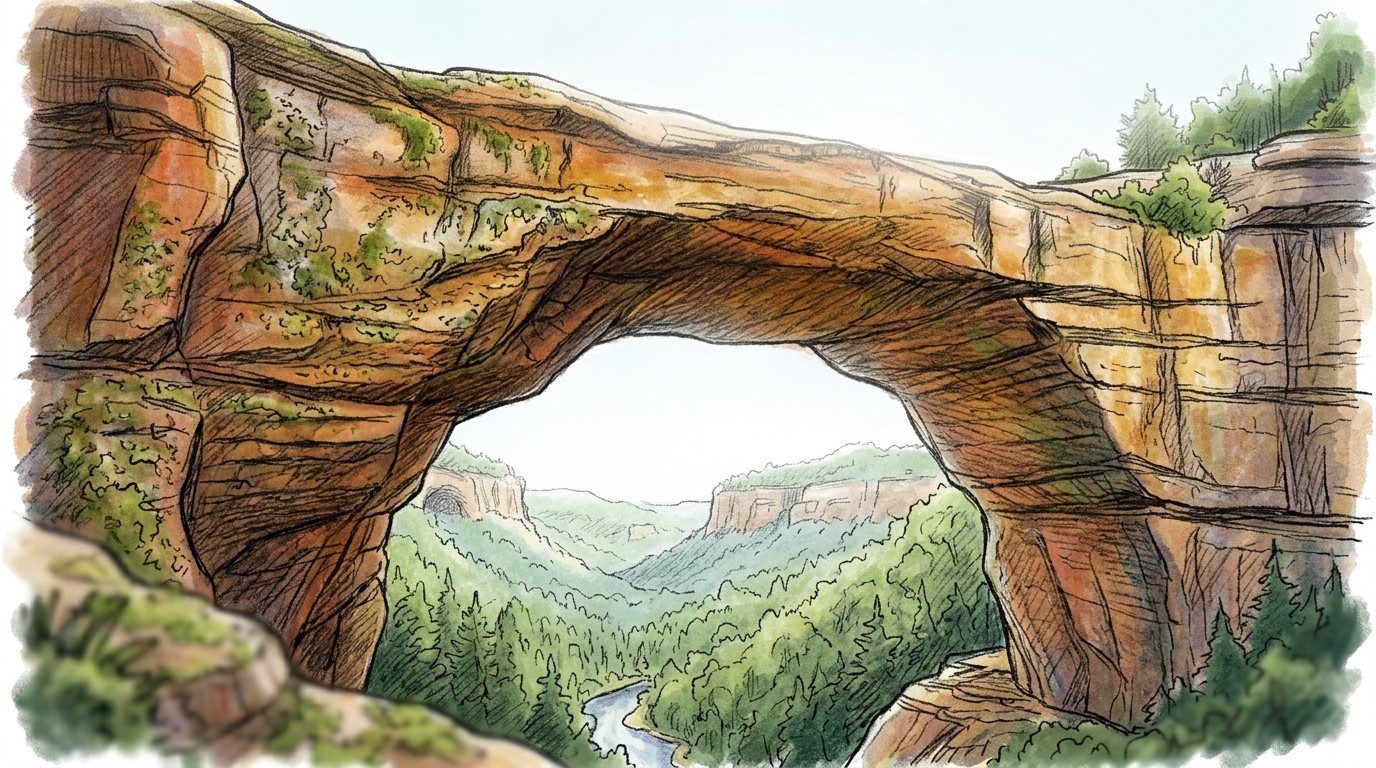
Often, yes, on the right walls. Much of the climbing at the Red is on steep, overhanging sandstone, and many of those walls stay dry in a passing shower, which is why climbers travel here even in unsettled weather. Cracks, slabs and less steep walls are a different story: they get wet, and cracks in particular stay wet long after the rain has stopped.
The rock is Corbin sandstone, which is much harder than the soft sandstones of England or Fontainebleau, but it is still sandstone. Wet holds are weaker, and repeated rain soaks the rock deeper than the surface, so the lower parts of a wall can stay damp inside after the face looks dry. Climb on dry rock and leave wet lines for another day.
Our forecast is general for each area rather than wall by wall. It marks an area red if more than a trace of rain has fallen in the last 12 hours, and amber until about 36 hours after rain, longer after heavy rain or where walls seep. On an amber day the steepest walls may well be dry; on a red day, expect most of the rock to be wet.
Autumn is the Red's best season. Across the Gorge, our model run on 30 years of NOAA weather data gives November 66% green (climbable) days and October 58%, the two best months of the year. Autumn is also the driest season, with highs of about 59–70°F (15–21°C).
March and December are next, both at about 55%. Winter can be very good on a sunny, still day after a dry spell, especially on south-facing walls, but expect frosty mornings and the odd snowy spell. Spring is wetter than autumn and gets warm by May.
Summer is hard going. Afternoons in June, July and August score just 8–14% green, because of heat and humidity: highs at crag height average around 86°F (30°C). If you climb here in summer, start at first light and pick shady, north-facing walls. See the full month-by-month figures in Best Time to Climb in the Red River Gorge.
Most climbing at the Red is on private land that climbers can use only because the owners allow it, so the rules matter.
Check the RRGCC, Muir Valley and Graining Fork websites for current waivers, fees and any closures before you travel.
Check the area comparison at the top of this page. It shows today's verdict for seven areas, from the Motherlode and PMRP to Muir Valley and Miller Fork, with the reason for any amber or red, and updates every four hours.
Often, on the steepest walls. Many of the Red's overhanging sandstone walls stay dry in a shower, but cracks, slabs and less steep rock get wet and stay wet for longer. Only climb rock that is actually dry.
Usually a day or two. Our forecast marks an area red if it has rained in the last 12 hours and amber until about 36 hours after rain, longer after heavy rain or on seepy walls.
Autumn, especially November (66% green days in our 30-year model) and October (58%). March and December come next at about 55%. Summer afternoons are usually too hot and humid.
In the afternoon, usually. June to August afternoons score only 8–14% green in our model, with highs around 86°F (30°C) at crag height. Climb at first light and choose shady, north-facing walls.
For most areas, yes. The RRGCC preserves (PMRP, Miller Fork and Bald Rock) and Muir Valley each require a signed waiver, Roadside needs a permit from the Graining Fork Nature Preserve, and Torrent Falls is open only on its published open days.