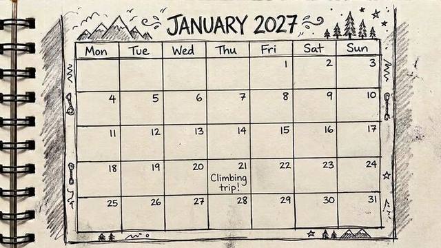
Climbing Trip Planner: Where to Climb, Month by Month
Pick the month you're travelling and your style of climbing, and we'll show you the three best destinations for that trip — based on decades of weather data.
Read guide →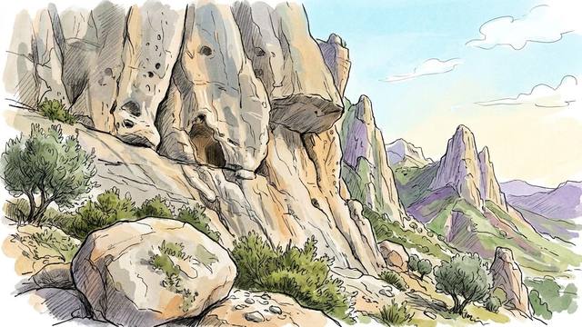
Best Time to Climb in Spain: A Region-by-Region Guide
Month-by-month climbing conditions for Costa Blanca, Andalucía, Catalonia, Aragón, Basque Country and more — based on 30 years of AEMET weather data.
Read guide →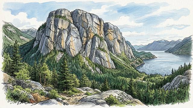
Squamish Climbing Guide: Trad, Bouldering & Best Time to Go
Everything you need to plan a climbing trip to Squamish — trad, bouldering, sport, logistics and the best months to go based on 30 years of weather data.
Read guide →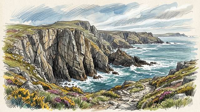
Best Time to Climb in Pembroke: 30 Years of Weather Data
We replayed 30 years of Met Office weather data through our drying model for the Pembroke sea cliffs. April to September is the season, at 47–54%, May is best, and August and September, once the bird restrictions lift, are when the most crags are open.
Read article →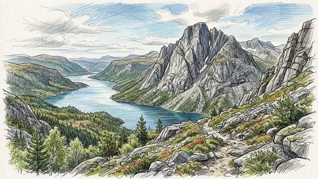
Best Time to Climb at Hægefjell: 19 Years of Weather Data
We replayed 19 years of MET Norway weather data through our drying model for Hægefjell, the big granite dome above Nissedal in southern Norway. June is best at 84%, May to September is the season, and from November to March the face is under snow.
Read article →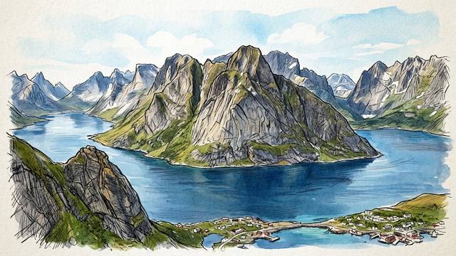
Best Time to Climb in Lofoten: 30 Years of Weather Data
We replayed 30 years of MET Norway weather data through our drying model for Presten in the Lofoten Islands. May (68%) and June (67%) are best, May to August is the season, the midnight sun lets you climb round the clock, and from September it's wet.
Read article →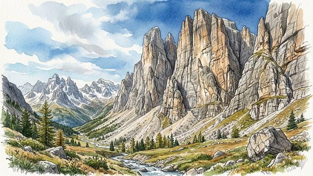
Best Time to Climb in the Dolomites: 30 Years of Weather Data
We replayed 30 years of weather data through our drying model for the Passo Sella in the Dolomites. September is best at 63%, June to September is the season, afternoon storms take the summer days, and from November to April the walls are under snow.
Read article →
Best Time for Trad Climbing in Squamish: 30 Years of Weather Data
We replayed 30 years of Environment Canada weather data through our drying model for Squamish's trad: the Smoke Bluffs and the Chief's Grand Wall. May is best at 77%, April to September is the season, summer is for early starts on the big walls, and winter is very wet.
Read article →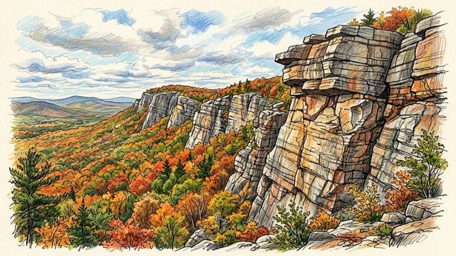
Best Time to Climb in the Gunks: 30 Years of Weather Data
We replayed 30 years of NOAA and Daymet weather data through our drying model for the Gunks. October is best at 80%, spring and fall are the seasons, summer is for early mornings, and a sunny winter day can still go.
Read article →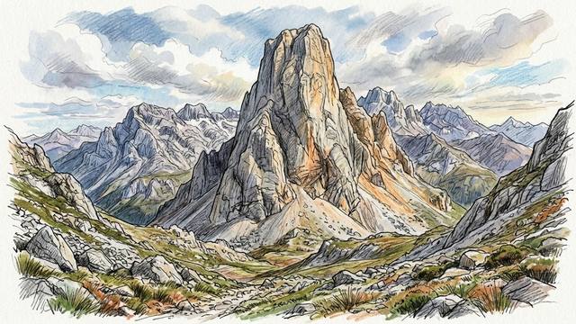
Best Time to Climb the Naranjo de Bulnes: 30 Years of Weather Data
We replayed 30 years of AEMET weather data through our drying model for the Naranjo de Bulnes, the limestone tower of the Picos de Europa. July and August are best at 55%, June to September is the season, and from November to April it's snowy and wet.
Read article →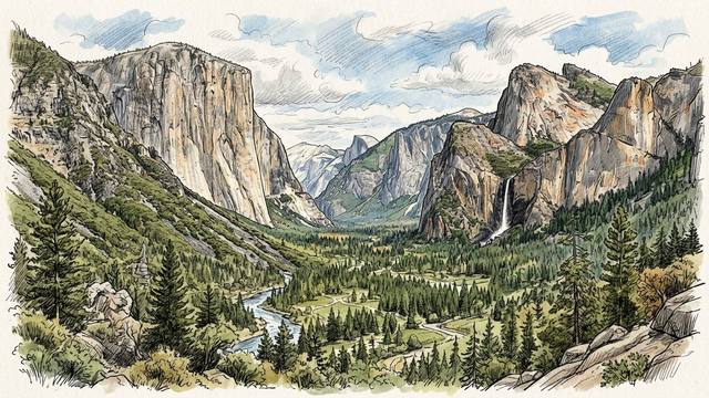
Best Time to Climb in Yosemite Valley: 30 Years of Weather Data
We replayed 30 years of NOAA and Daymet weather data through our drying model for Yosemite Valley. April (85%) and November (84%) are best, spring and fall are the seasons, winter is often good between storms, and summer afternoons are too hot.
Read article →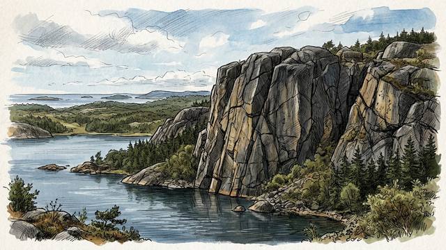
Best Time to Climb in Bohuslän: 30 Years of Weather Data
We replayed 30 years of SMHI weather data through our drying model for Bohuslän's granite trad crags. May is best at 71%, April to June is the season, summer is good in the mornings, and autumn and winter are wet.
Read article →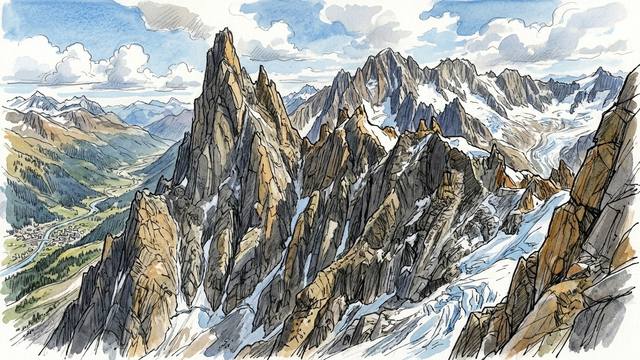
Best Time to Climb in Chamonix: 30 Years of Weather Data
We replayed 30 years of Météo-France weather data through our drying model for three levels of Chamonix rock: the valley crags, the Aiguillette d'Argentière and Le Brévent. July is best in the mountains at 75%, April on the valley crags at 66%, and winter belongs to the skiers.
Read article →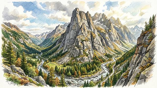
Best Time to Climb in Valle dell'Orco: 30 Years of Weather Data
We replayed 30 years of Arpa Piemonte weather data through our drying model for Caporal and Sergent, Valle dell'Orco's two big trad walls. It's a summer destination: July is best at 68%, the second half of June hits 76%, and winter is lost to snow.
Read article →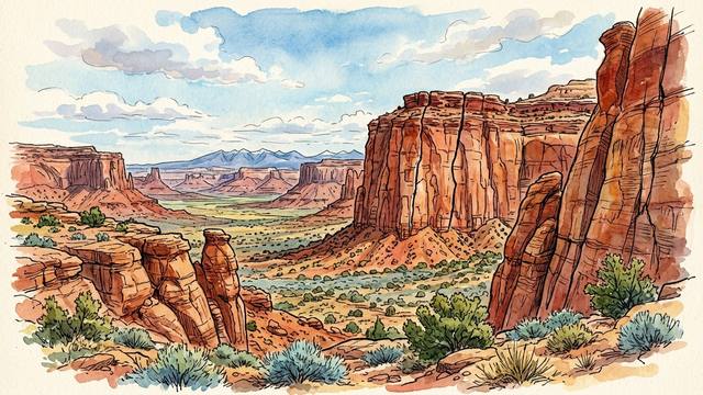
Best Time to Climb at Indian Creek: 30 Years of Weather Data
We replayed 30 years of weather from Canyonlands' Needles station through our drying model. November is best at 65%, March, April and late October are the season, winter is cold and snowy, and summer afternoons are too hot.
Read article →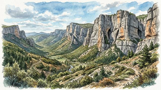
Best Time to Climb in Annot: 30 Years of Weather Data
We replayed 30 years of Météo-France weather data through our drying model for Annot's trad sectors. It's a winter destination: February is best at 56%, December to March is the season, spring and autumn are wet, and summer is for early mornings.
Read article →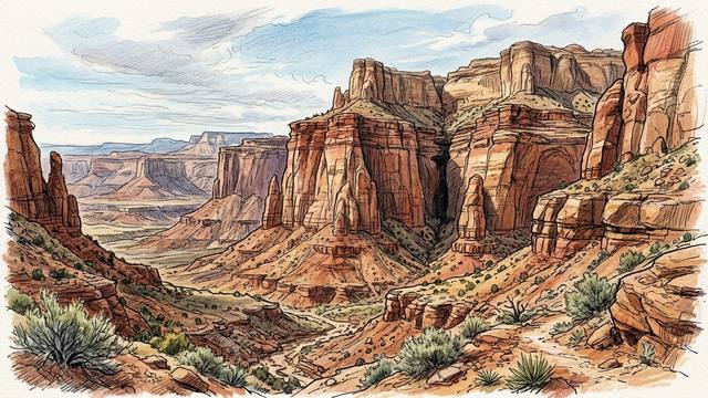
Best Time to Climb in Red Rocks: 30 Years of Weather Data
We replayed 30 years of weather from a station in Red Rock Canyon through our drying model. November is best at 84%, December to March are good between storms, late October and early April are the shoulder seasons, and summer afternoons are too hot.
Read article →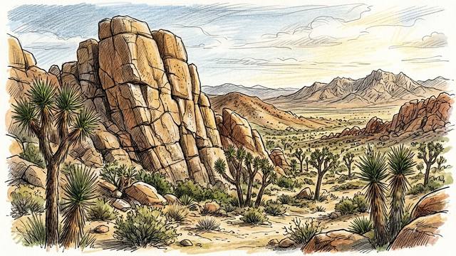
Best Time to Climb in Joshua Tree: 30 Years of Weather Data
We replayed 30 years of weather from a station inside Joshua Tree National Park through our drying model. November is best at 95%, December to March are almost as good, late October and early April are the shoulder months, and summer afternoons are too hot.
Read article →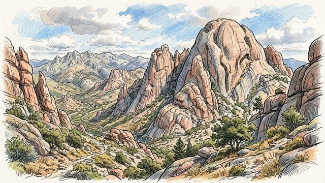
Best Time to Climb in La Pedriza: 30 Years of Weather Data
We ran 30 years of simulated weather, built from AEMET climate data, through our drying model for La Pedriza's lower crags and for El Yelmo. It's an autumn-to-spring destination: March and September are best, winter holds up well low down, and summer belongs to El Yelmo.
Read article →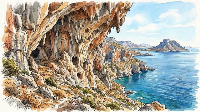
Best Time to Climb in Kalymnos: 30 Years of Weather Data
We replayed 30 years of Greek weather data through our drying model for four Kalymnos crags. Late April and October tie for best, September is still too hot for afternoons, winter is better than its reputation, and summer is best climbed at dawn.
Read article →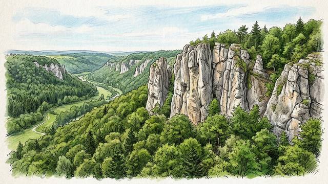
Best Time to Climb in the Frankenjura: 25 Years of Weather Data
We replayed 25 years of real Deutscher Wetterdienst weather data through our drying model for four Frankenjura crags. April leads at 68%, May and September follow, October dries more slowly than its reputation suggests, and summer is best climbed early.
Read article →
Best Time to Climb at Rifle Mountain Park: 30 Years of Weather Data
We replayed 30 years of real NOAA and NRCS weather data through our drying model, adjusted to the height of Rifle's walls, and scored every day for a morning and an afternoon session. June mornings lead at 70%, October is best in the afternoon, summer afternoons are too hot, and the seeps run until June.
Read article →
Best Time to Climb in Ten Sleep Canyon: 30 Years of Weather Data
We replayed 30 years of real NOAA and NRCS weather data through our drying model, adjusted to the height of Ten Sleep's walls, with the winter snow building and melting day by day. August leads at 79%, July to September is the season, the snow melts in late May, and spring is wetter than most climbers expect.
Read article →
Best Time to Climb at Céüse: 30 Years of Weather Data
We replayed 30 years of real Météo-France weather data through our drying model, adjusted to the 1850 m of Céüse's main wall, with the winter snow building and melting day by day. July leads at 87%, June to September is the season, the snow melts in late April, and October is good for cold projecting.
Read article →
Best Time to Climb in the Gorges du Tarn: 30 Years of Weather Data
We replayed 30 years of real Météo-France weather data from the Causse Méjean through our drying model, scored for the early-morning sessions most climbers have in the Gorges du Tarn, and checked it against the springs that feed the walls. Start early and July and August are the best months at 67%, then June and September. The rest of the year, climb in the afternoon: March is the pick, if you don't mind the cold and the seepage.
Read article →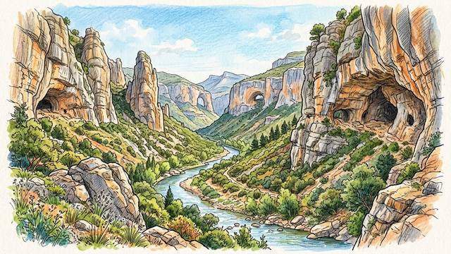
Best Time to Climb in Rodellar: 22 Years of Weather Data
We replayed 22 years of real weather data from Huesca through our drying model, adjusted to Rodellar's canyon. March and October lead in the afternoon, spring rain feeds the tufas, and in summer the dawn and the shade make July the best month of all.
Read article →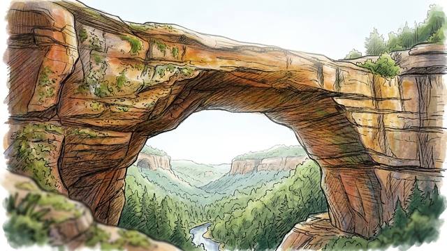
Best Time to Climb in the Red River Gorge: 30 Years of Weather Data
We replayed 30 years of real NOAA weather data from beside the Red River Gorge through our drying model, including the dry-heat check. November is best at 66%, October is next at 58%, the rain falls all year, and summer afternoons collapse but dawn starts recover.
Read article →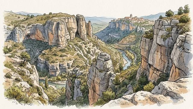
Best Time to Climb in Siurana: 30 Years of Weather Data
We replayed 30 years of real weather data from beside Siurana through our drying model, including the dry-heat check. February is best at 81%, every month from October to May scores 72% or more, and summer afternoons collapse but dawn starts recover.
Read article →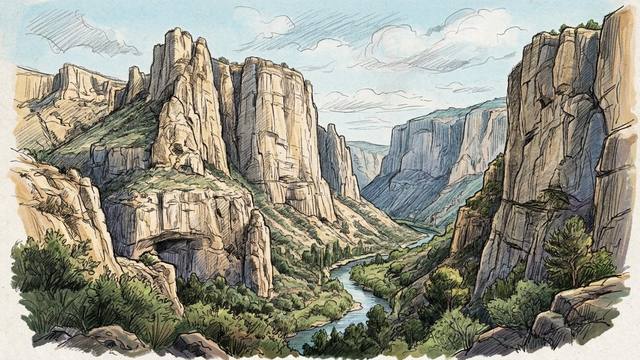
Best Time to Sport Climb in Chulilla: 15 Years of Turia Gorge Weather Data
We replayed 15 years of real weather data from Chulilla's own weather station through our drying model — including the dry-heat check — for the Turia gorge's limestone. December and February share the peak at 90%; the rain comes in spring and autumn, and summer afternoons collapse but dawn starts recover.
Read article →
Best Time to Sport Climb on the Costa Blanca: 15 Years of Sella Weather Data
We replayed 15 years of real weather data from the hills behind Benidorm through our drying model — including the dry-heat check — for Sella's limestone. February is the numeric peak at 90%; the rain comes in a few big winter storms, and summer afternoons collapse but shaded walls and dawn starts recover.
Read article →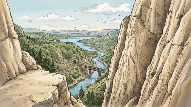
Best Time to Sport Climb at El Chorro: 25 Years of Andalucía Weather Data
We replayed 25 years of real Andalusian weather data through our drying model — including the dry-heat check — for El Chorro's limestone. February is the numeric peak at 80%; March is the wettest month, and summer afternoons collapse but shaded walls and dawn starts recover.
Read article →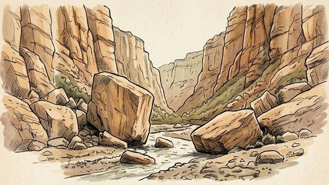
Best Time to Boulder at Joe's Valley: 30 Years of San Rafael Swell Weather Data
We replayed 30 years of real NOAA weather data through our drying model — including the dry-heat check and real observed snow depth — for Joe's Valley's soft sandstone. November is the numeric peak at 81%; winter is a snow story, not a rain story, and summer afternoons collapse but recover at dawn.
Read article →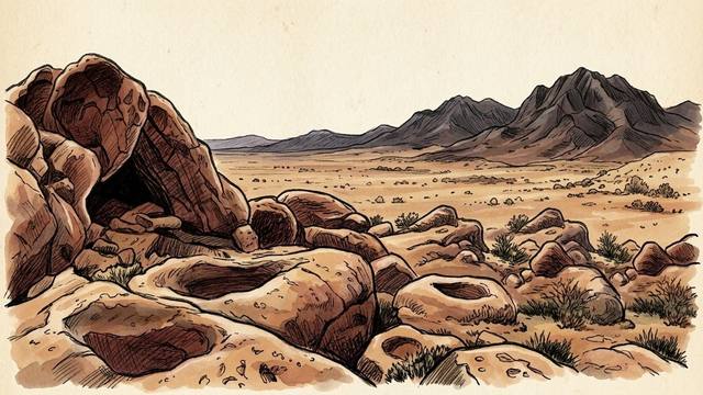
Best Time to Boulder in Hueco Tanks: 30 Years of Chihuahuan Desert Weather Data
We replayed 30 years of real daily observations from NOAA's El Paso Airport station through our drying model — including its dry-heat check — for all four Hueco Tanks mountains. January is the numeric peak at 96%; summer afternoons collapse to 1–3% but recover to 98%+ at first light.
Read article →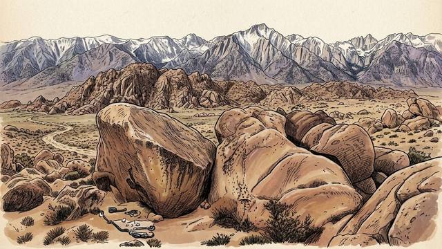
Best Time to Boulder in Bishop: 30 Years of Eastern Sierra Weather Data
We replayed 30 years of real daily observations from the NOAA Bishop Airport station through our drying model — including its new dry-heat check — for the Buttermilks and the Happy/Sad Boulders. Full-day summer sessions are a near write-off; the same months score 97%+ at first light.
Read article →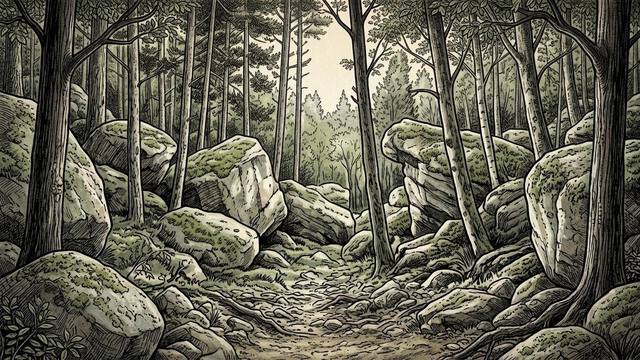
Best Time to Boulder in Chironico: 30 Years of Ticino Gneiss Weather Data
We replayed 30 years of real daily observations — including real observed snow depth — from the MeteoSwiss Piotta reference station through our drying model to find out when Chironico is actually dry, and why that's not quite the same question as when its winter friction is best.
Read article →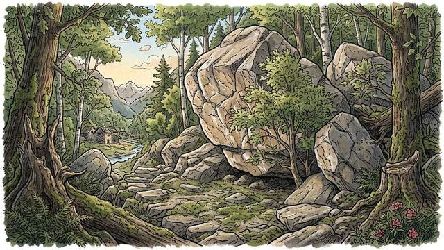
Best Time to Boulder in Cresciano: 30 Years of Ticino Gneiss Weather Data
We replayed 30 years of real daily observations from the MeteoSwiss Magadino/Cadenazzo reference station through our drying model to find out just how good Cresciano really is as a winter and spring destination — when most of Europe is out of climbing options.
Read article →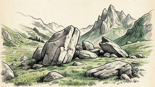
Best Time to Boulder in Val di Mello: 30 Years of Alpine Granite Weather Data
We replayed 30 years of real daily observations — weather and snow depth — from the MeteoSwiss Poschiavo reference station through our snow-aware drying model, to find which months have the best chance of climbable conditions on Val di Mello ghiandone granite.
Read article →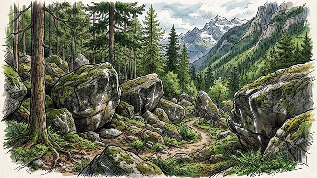
Best Time to Visit Magic Wood: 30 Years of Bouldering Weather Data
We replayed 30 years of real daily observations — weather and snow depth — from the MeteoSwiss S. Bernardino reference station through our snow-aware drying model, to find which months have the best chance of climbable conditions at Magic Wood.
Read article →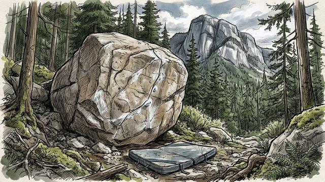
Best Time to Boulder in Squamish: 30 Years of Weather Data
We replayed 30 years of real daily observations — weather and observed snow depth — from the ECCC Squamish Airport station through our snow-aware drying model, to find which months have the best chance of climbable conditions in the Squamish forest.
Read article →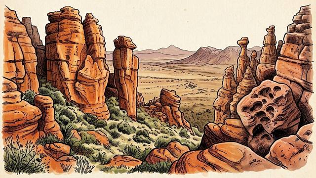
Best Time to Visit Rocklands: 30 Years of Bouldering Weather Data
We ran our climbingforecast model using NASA POWER 30-year climate data (MERRA-2, 1991–2020) at the Rocklands coordinates to find which months have the best chance of climbable conditions on Cederberg sandstone.
Read article →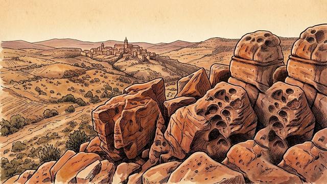
Best Time to Visit Albarracín: 30 Years of Bouldering Weather Data
We ran our climbingforecast model using AEMET climate normals from Molina de Aragón and Teruel to find which months have the best chance of climbable conditions in Albarracín.
Read article →A Beginner's Guide to Sport Climbing Outdoors
Planning your first sport climbing trip outdoors? Here's the gear list you actually need, from helmet to clipstick, based on years of climbing outside.
Read article →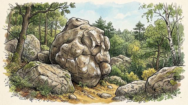
Best Time to Visit Fontainebleau: 30 Years of Bouldering Weather Data
We ran our climbingforecast model using Météo-France 30-year climate norms to find which months have the best chance of climbable conditions in Fontainebleau.
Read article →Best Classic Climbing Videos: 3 Must-Watch Films for Rainy Days
Rained off? Or need some psych? Watch these classics and we guarantee you will be raring to go again.
Read article →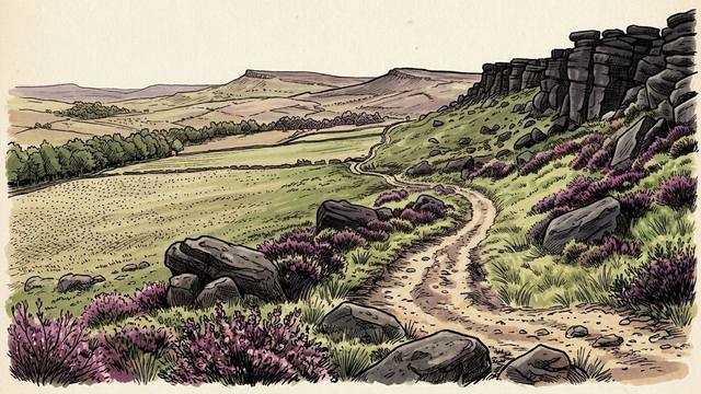
Peak District Climbing for Beginners: A Complete Guide
With over 5,700 individual boulders it can be pretty overwhelming to know where to start. Here's what every first-timer should know.
Read article →
Best Time to Climb in the Peak District: 30 Years of Weather Data
We ran our climbingforecast model using Met Office 30-year climate norms to find which months have the best chance of climbable conditions in the Peak District.
Read article →Best Climbing Memoirs and Books: 3 Must-Reads for Rainy Days
Three climbing books worth reading when the weather won't play ball.
Read article →No articles match that search. Try a crag, country or rock type.